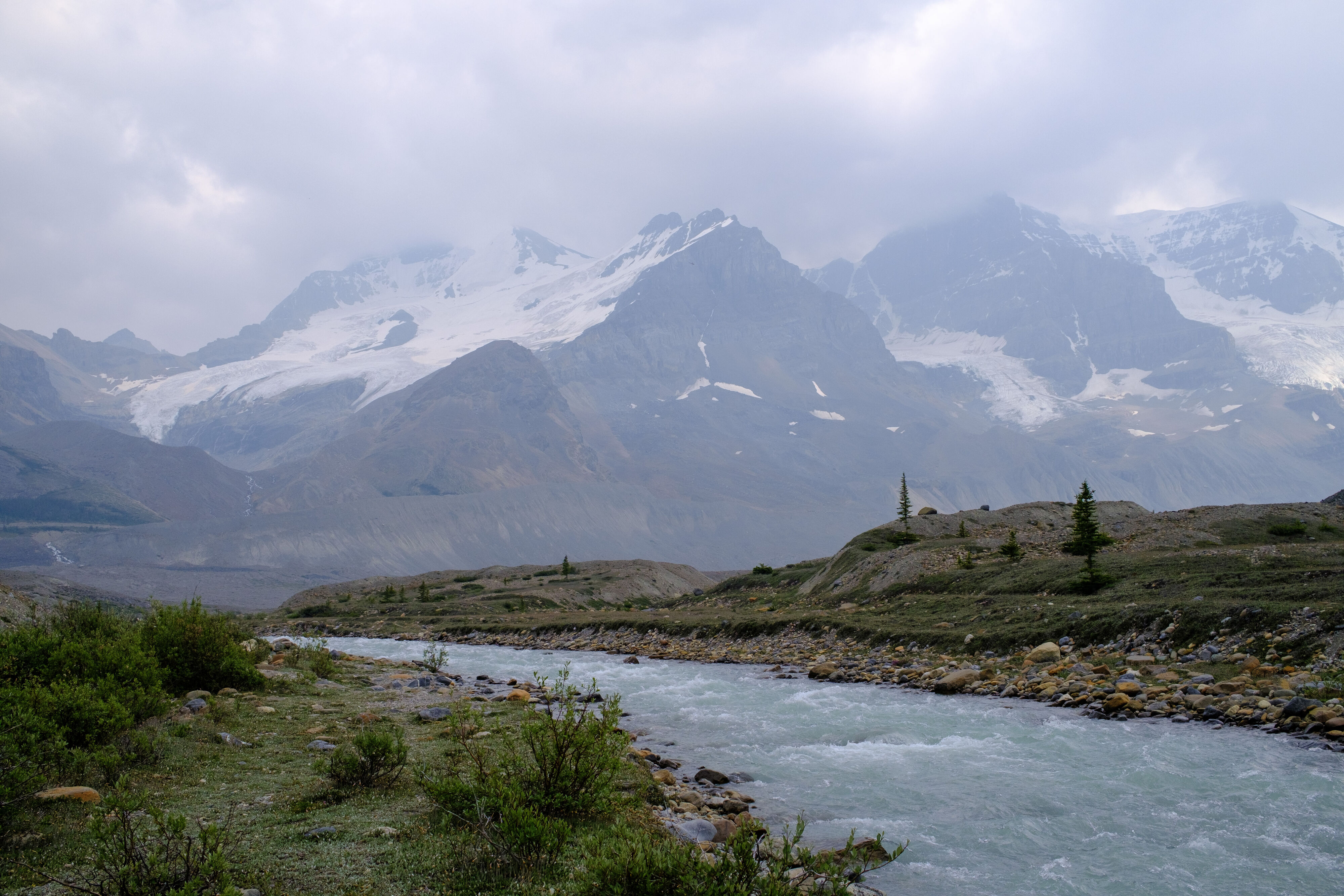
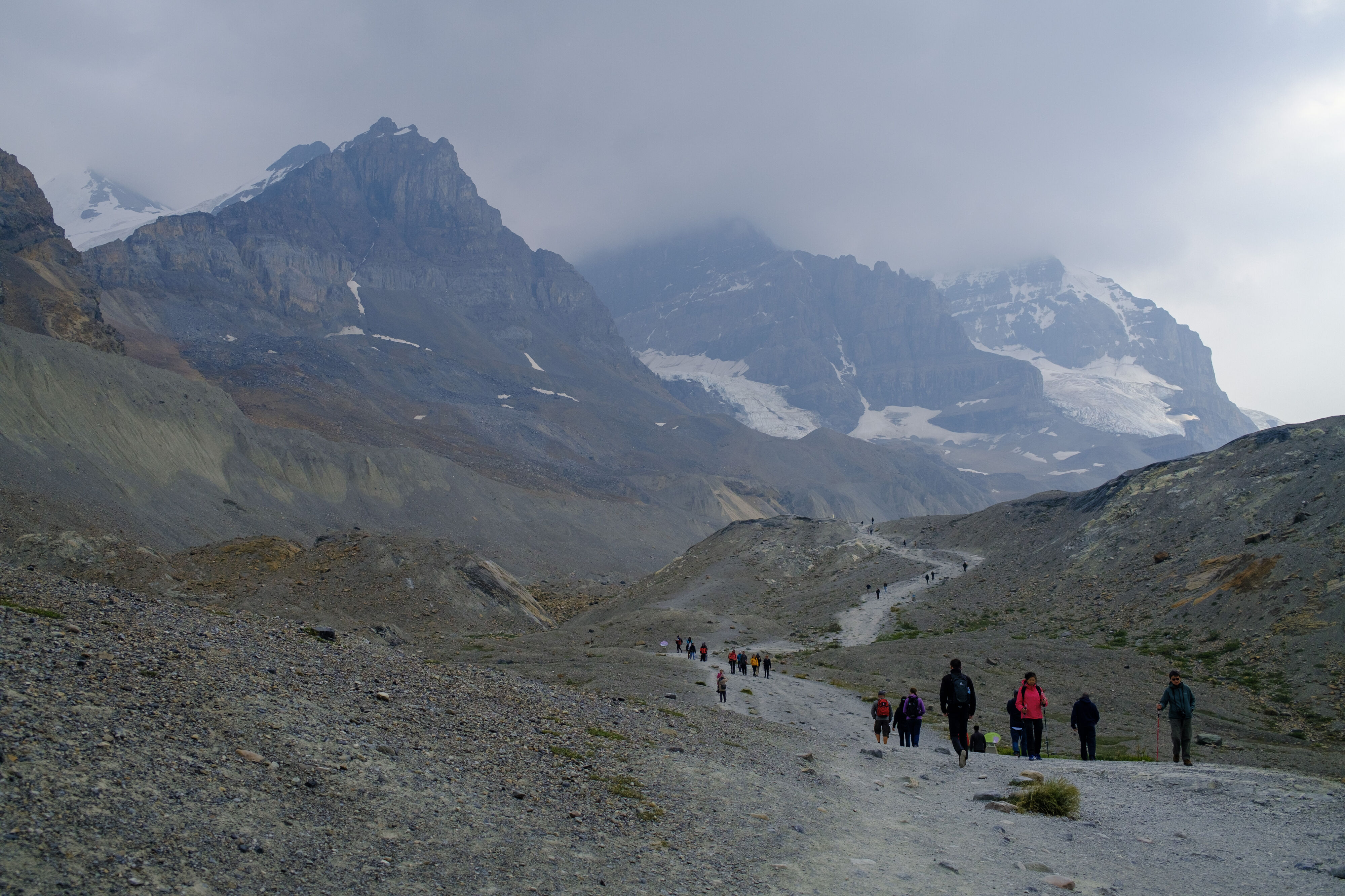
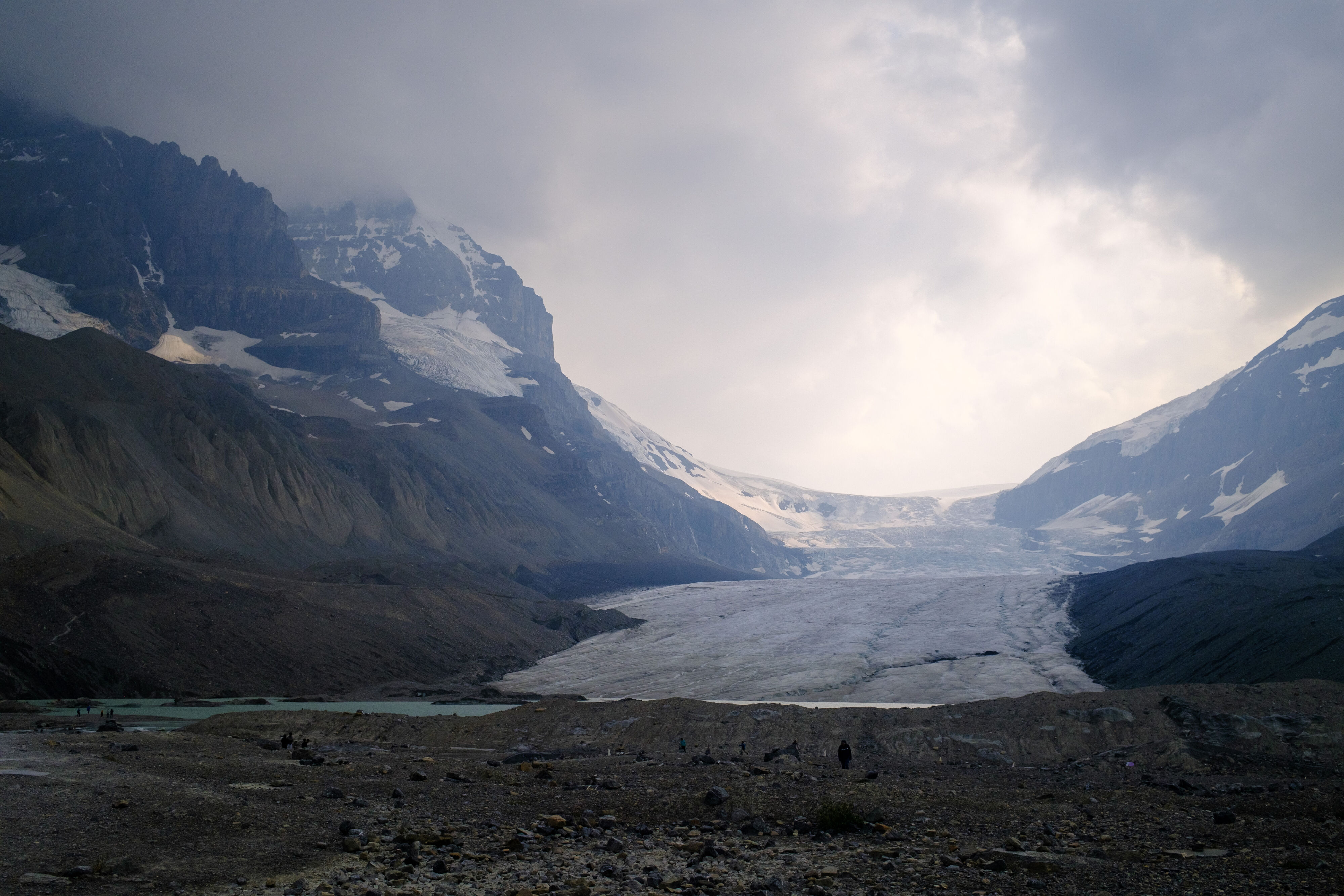
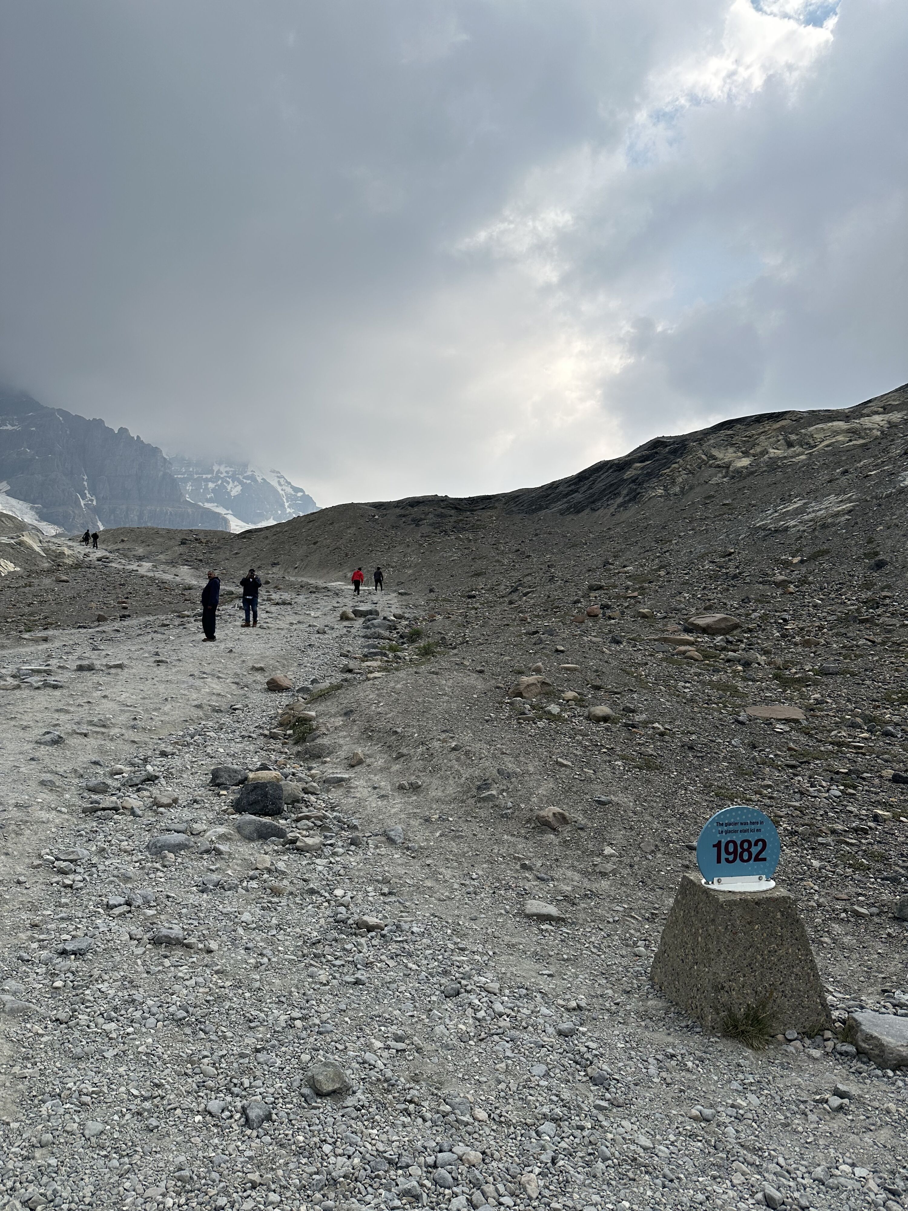
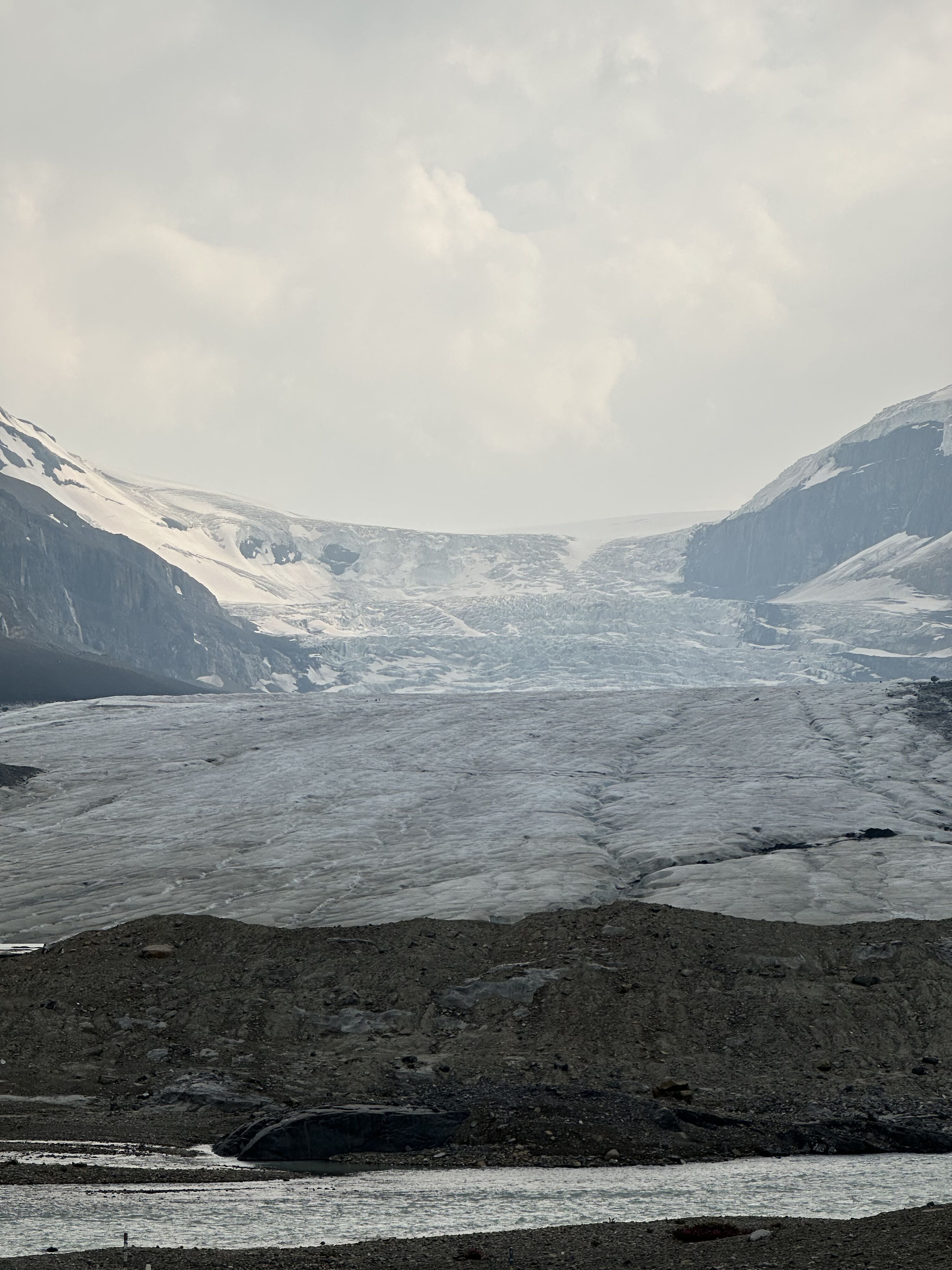
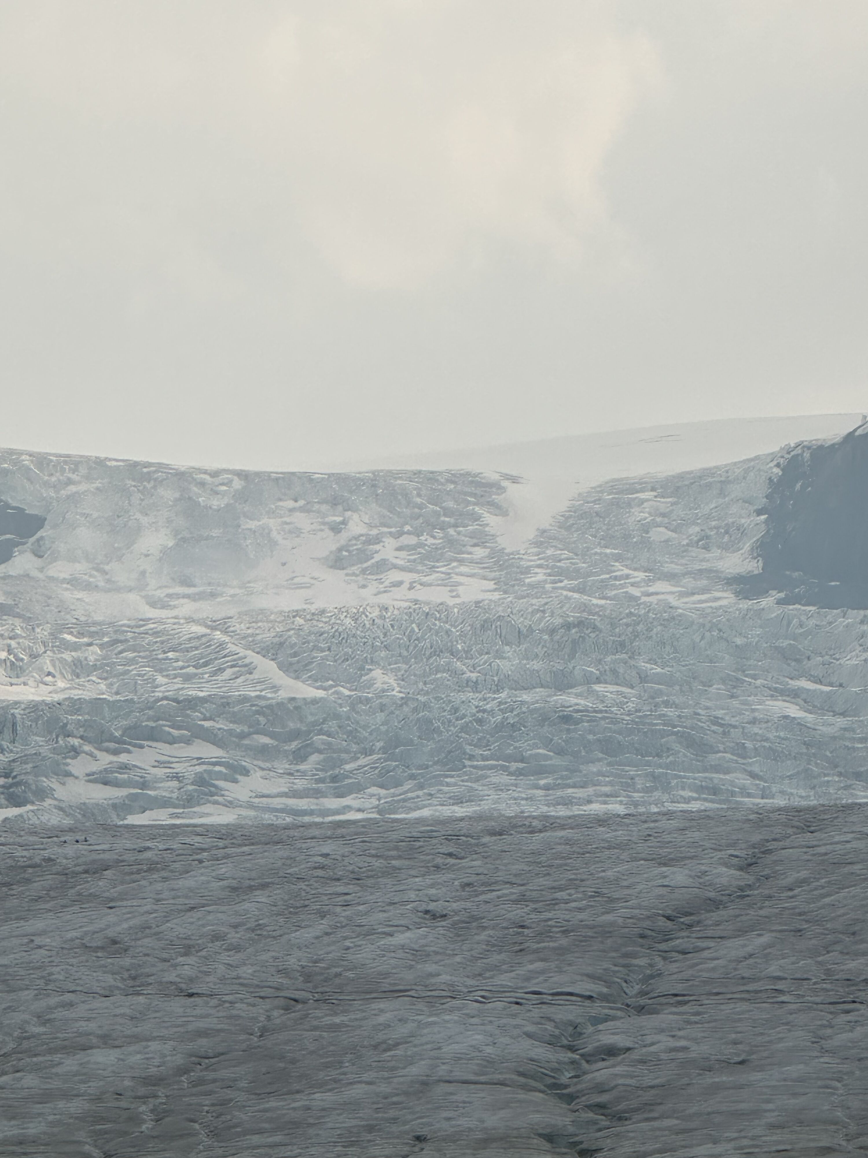
We visited the Columbia Icefield, which is the largest icefield in the rocky mountains. The Athabasca Glacier is one of the most accessible glaciers in the area, and we hiked up to it. The glacier is receding at a rate of about 5 meters per year, which is quite alarming. You can see the difference in the photos from previous years. The water that’s flowing in the river fell as snowflakes 400 years ago!
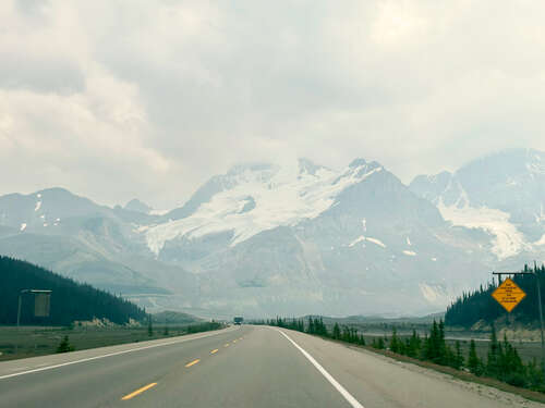
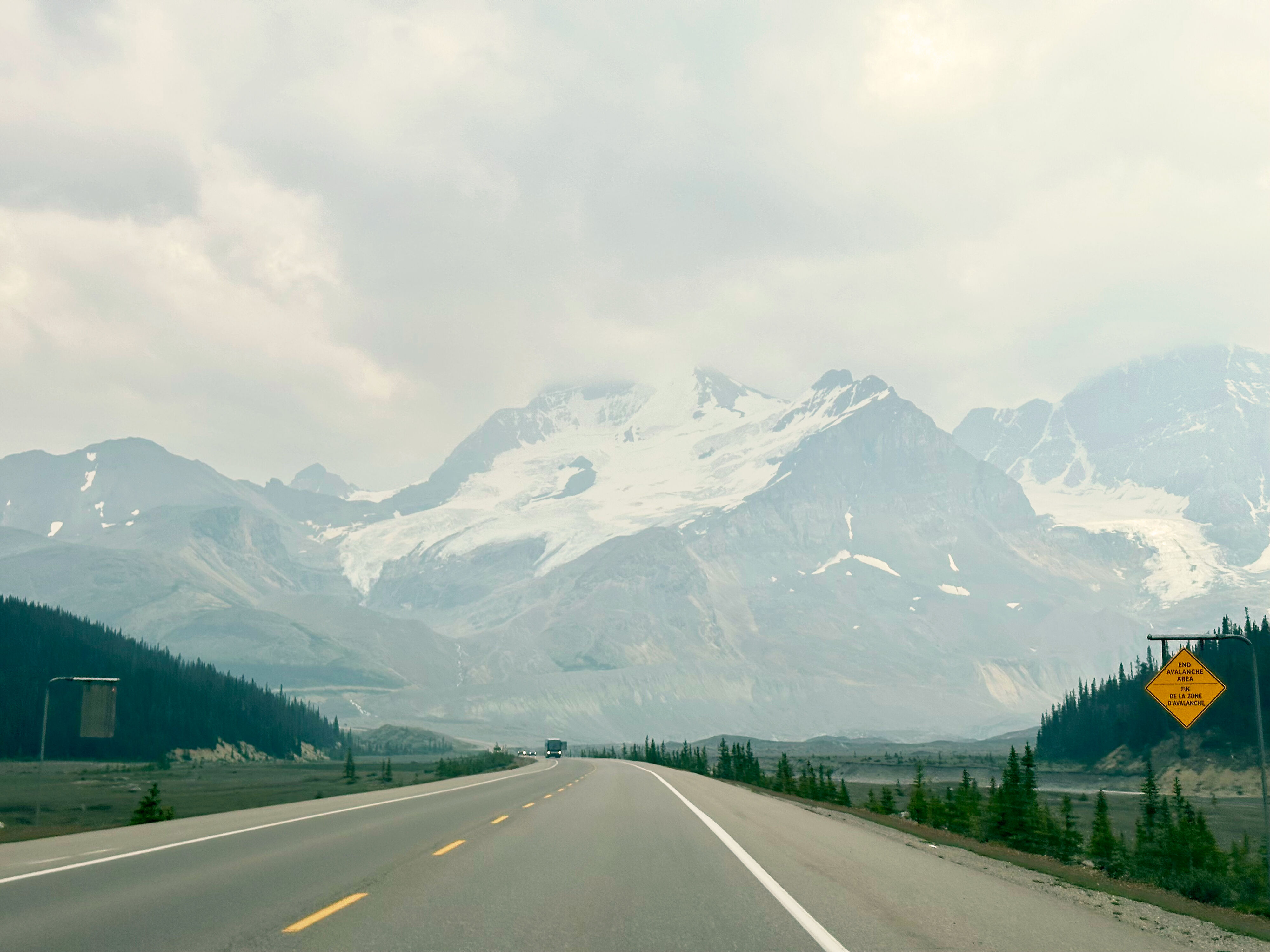
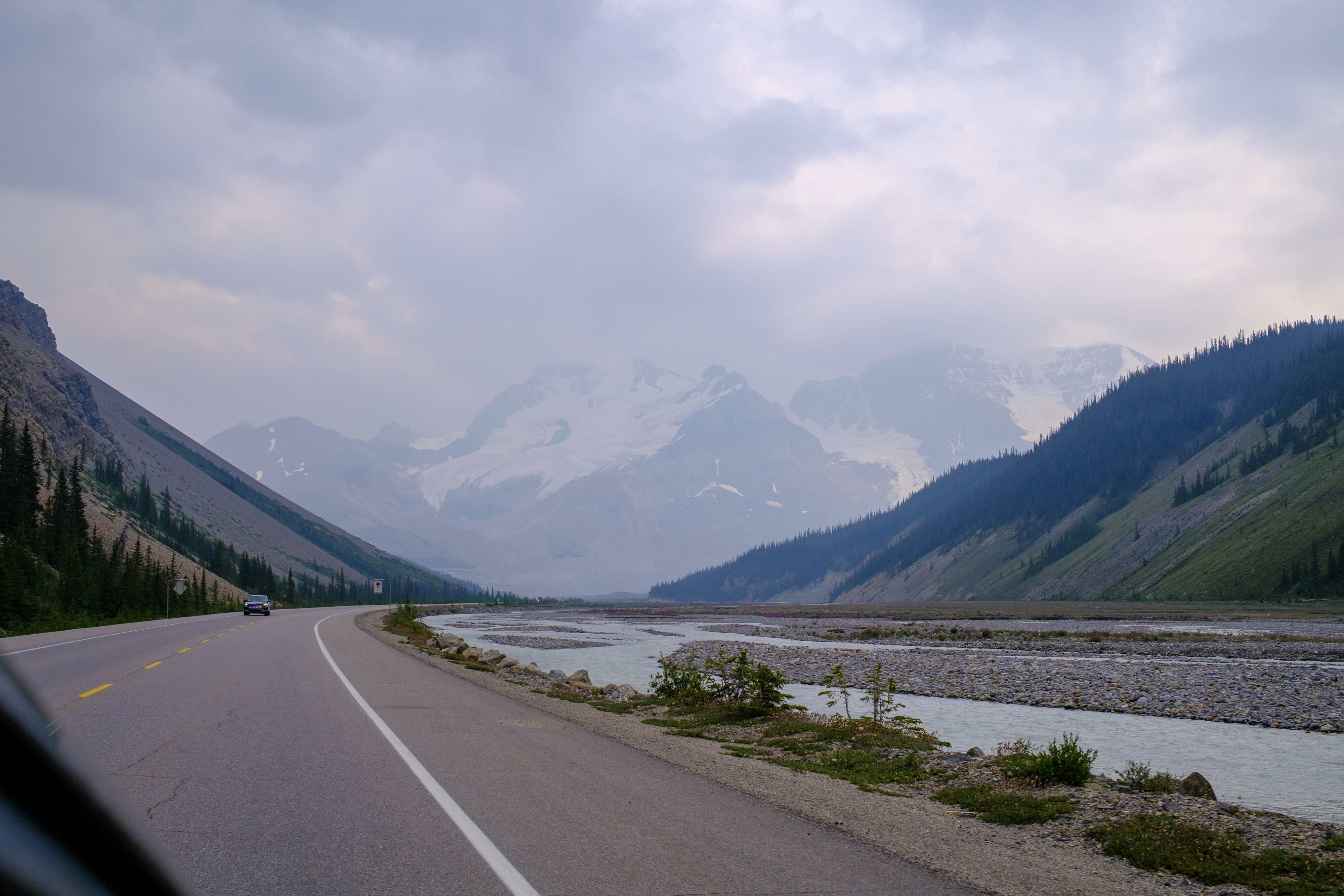
The glacier was along The Icefields Parkway, which offers world-class landscapes. The views were breathtaking, and we stopped at several viewpoints along the way. We really under planned for this, need to re-do this trip taking more time to explore all the possible hikes around.
Boundary Peak at the Columbia Icefield
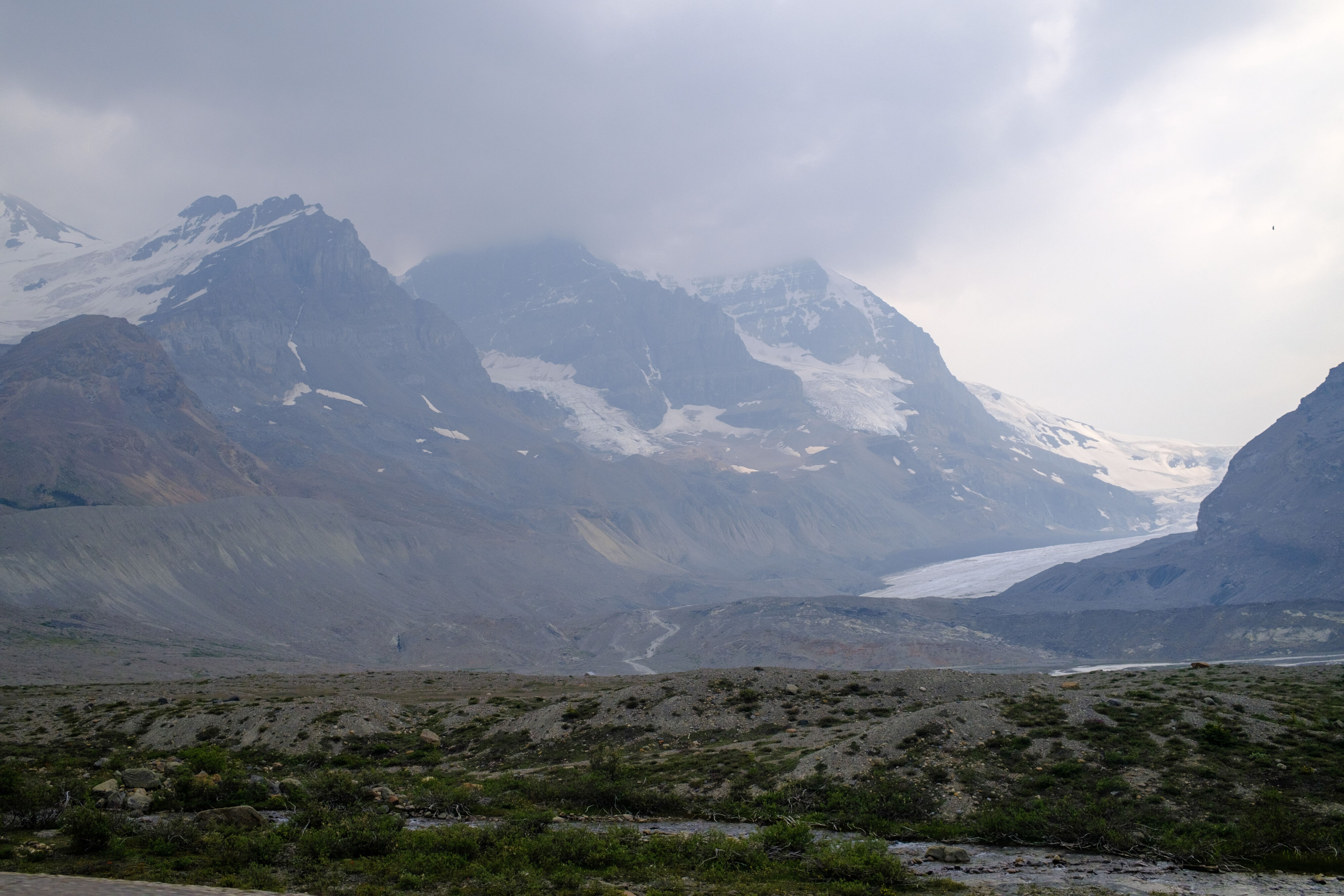
At the Columbia Icefield
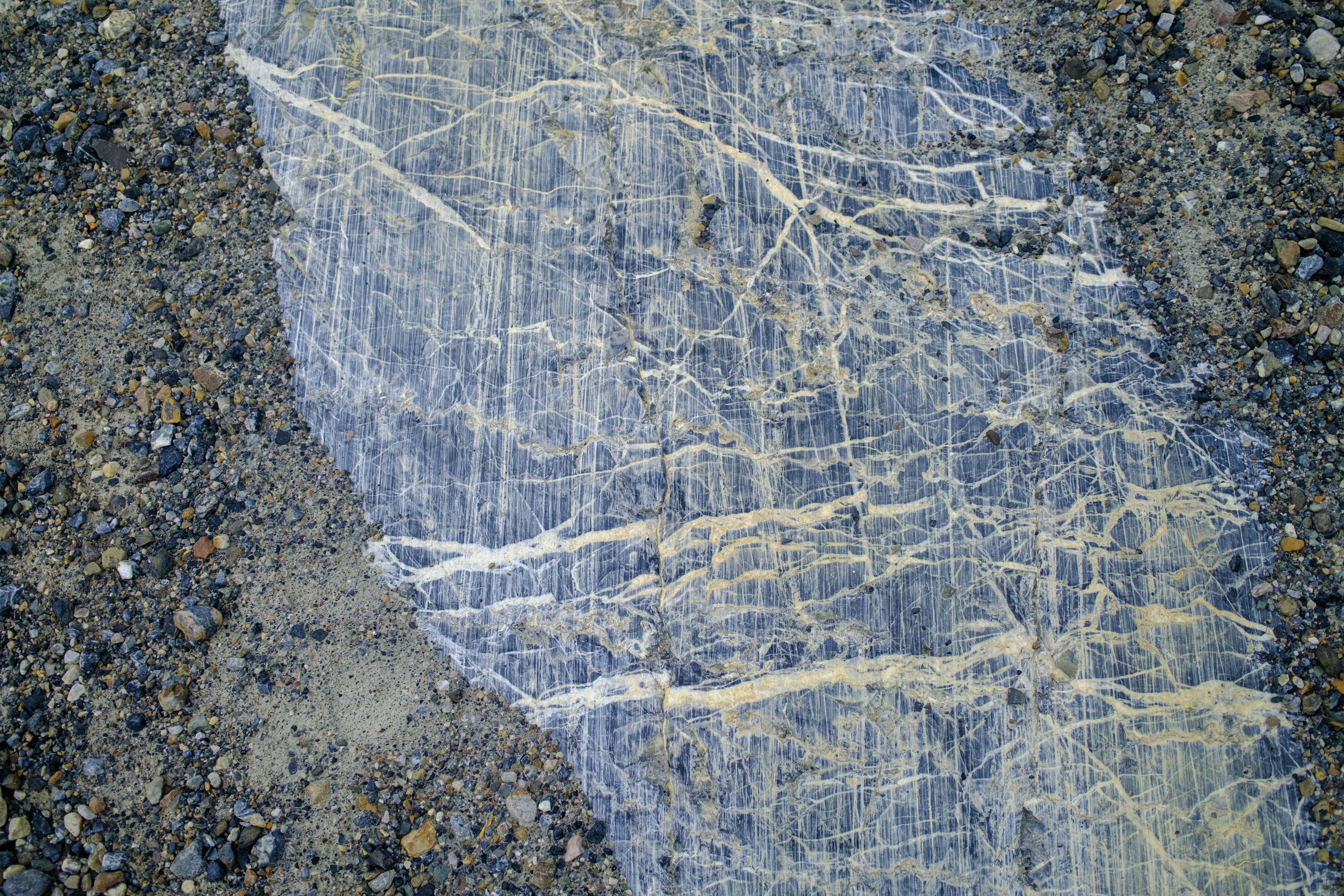
As the glaciers move, the sediment it carries leaves permanent marks on the rocks below.
https://maps.app.goo.gl/yAERYofw4cwfbYsA9
Taken with Fuji